
What on earth is Asset Mapping Software, you ask? Most often used to assist with Community Asset Mapping – which, to clarify, is the strategic and systematic process of documenting, conceptualizing, and recording an area’s characteristics, resources, and existing infrastructure – Asset Mapping Software is a vital tool that is leaned on heavily in modern-day town and community planning.
Technology in Infrastructure: How Asset Mapping Software Has Advanced
A central element of Asset Mapping Software in Victoria, Australia, in particular – is road mapping as outlined in a road dilapidation report from Melbourne. A road dilapidation map or report is an essential factor in identifying which areas of community roadways require maintenance or structural repair – ensuring the safety of road commuters in the area, and the community at large.
Further, reports of this nature are crucial to ascertain what areas of improvement the community needs to focus on, and also provide town planners and local councils with invaluable data and information about what improvements, roadworks, and community maintenance are required in which areas.
This information then allows local councils to prioritize maintenance issues in order of urgency or importance. For instance, the importance of road maintenance required can be categorized from the highest urgency – ie. “Critical”- where community and road commuters are endangered by the issue or road damage present, to “Needed” – less urgent but still required, to “Desired” – less urgent again but still important for long-term road maintenance.
But – perhaps more to the point – how has Asset Mapping Software in particular advanced in recent times, and how does it assist with community and town planning both in our current day and into the future? Read on for details to follow.
Recent Advances in Asset Mapping Software and How They Can Assist with Real-Time Community Asset Mapping
3D Modelling of Infrastructure and Buildings
3D Modelling is an essential element of community mapping and civil town planning. But what is 3D modeling exactly? And what are the computer software programs that are utilized to deliver and execute the elements involved in 3D modeling?
To clarify – 3D modeling involves the production of three-dimensional digital representations and images of real-world structures and objects.
It is used widely in Community Asset Mapping to enable town planners and civil engineers to understand and conceptualize the infrastructure, buildings, and surfaces within a community planning area.
Asset Mapping is also very important in uncovering solutions to problems faced within the infrastructure of a community – such as the resources, structures, and buildings that need repair and maintenance, and could be dangerous or disruptive to the community if left unattended or damaged.
Commonly, the computer software programs that are utilized in Asset Mapping are fundamentally built upon the foundations of 3D Modeling.
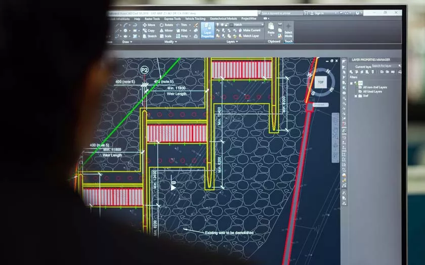
These include architectural planning programs such as Computer-Aided Design software (also known as CAD), which help to optimize and streamline elements of architectural engineering and city planning.
Drones and Community Asset Mapping: How Drones Have Changed the Mapping Process
Drone Mapping Software is becoming increasingly utilized in Community Asset Mapping. For instance, a drone can assist with measuring, identifying, and ascertaining an area’s resources and infrastructure, which can in turn help with identifying required solutions in a community.
As well as being the modern way of the future, drones are a versatile tool in asset mapping due to their ability to travel long distances in a short time, as well as access areas that may not have been able to be accessed before utilizing traditional technology and outdated methods of community asset mapping.
Importantly, their integrated software enables data and information to be recorded digitally and accessed in an instant.
Spatial Data Improvements and Advancements
Geospatial data is a central component of Community Asset Mapping, and recent advancements in spatial data research software are making it even easier for geospatial information to be accessed, reviewed, and analyzed by town planners and civil engineers.
Also known as GIS Mapping Tools, Geospatial Data Capture Software is essential to architectural community planning, as it assists civil town planners, architects, and engineers in analyse, conceptualizing, and understanding community structures, resources, and layouts.
Importantly, recent improvements and advancements in GIS Mapping software are set to continue moving forward into the future – increasing our capabilities and potential for even more accurate and successful Community Asset Mapping and architectural town planning.